St Pancras to Canary Wharf
This half-day walk takes in a part of London undergoing massive regeneration, along a waterway that changed the city. Stay along the canal or break up the journey and explore different areas along the way: Kings Cross, Islington, City Road, Victoria Park, Millennium Park, Limehouse & Canary Wharf.
Factbox ¦ Route map (full size)¦ Photo gallery
St. Pancras is less than 10 minutes away by Thameslink. Finding Regent’s canal from the station is a tad confusing amid the hustle and bustle. Once on York Way, walk north to the towpath. It’s by the entrance to Granary Square, London’s newest square and part of the regeneration of Kings Cross. You can stop and play in the fountains (just avoid getting splashed) and walk around the new campus for Central St. Martin’s College. Be careful taking photos if you have a tripod – security may try and make you sign a release form as it’s a private square.
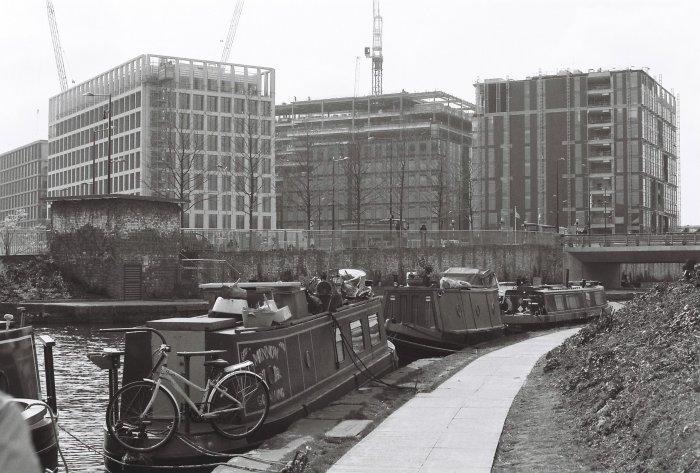
New offices in Kings Cross from the canal
The towpath is on the left side of the canal (facing east). Ahead of the Caledonian Road Bridge, you can see Battlebridge Basin opposite. It’s a standard wharf development apart from the Kings Place office block on the right had side. This is the HQ of the Guardian and is also open to the public as a cultural venue. The London Canal Museum is in a building opposite the towpath but that’s for another day.
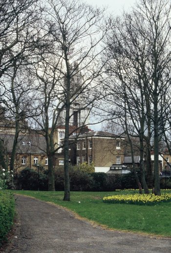
The path then takes you up to Muriel Street as the canal enters the 846 metre long Islington tunnel – the longest canal tunnel in London. Continue on the footpath into Maygood street, turn right on Penton Street and left onto Chapel Market. This street market is open Saturdays 10am-5pm and Thursdays 12-6pm (mini market – no food). There are also a few independent shops and restaurants should you want a bite to eat. Chapel Market ends on Liverpool Road. Once there, you cannot miss the large N1 shopping complex but I’d walk straight through onto Upper Street and then Duncan Street. The towpath begins again after Duncan Terrace and Colebrook Row Gardens. These are well-kept small public parks and worth a wander around.
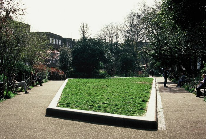
Stop and have a sandwich in Duncan Terrace Gardens
Take the towpath on the left hand side and head in the direction of City Road Basin after the City Road Lock. This basin and the areas surrounding it are undergoing a full scale regeneration. Until recently, it was closed to the public and derelict. Now new high rise buildings are coming up fast. There is also public open space at the foot of the basin.
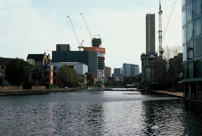
City Road Basin – previously derelict
Continue under the Wharf Road bridge to Wenlock Basin. Keep walking though as the basin is private and open to residents only. The path in Hackney is improving – a few years ago, it was rather empty. However, the area’s proximity to fashionable Hoxton has meant one or two canal side cafés and restaurants have opened up near Kingsland Basin.
Kingsland is a basin on the north side of the canal. Although it’s seeing redevelopment, the Canals in Hackney Users Group (CHUG) was formed to help dredge it and generate affordable housing around the edges. There is a small community of houseboats along this section of the canal and CHUG maintains the moorings.
If you exit the canal on Kingsland Road, you can explore the hipster territory of Hoxton. Again, Hoxton has seen huge changes over the past decade, not to everybody’s taste. If you want to explore and avoid hipsters, the Geffrye Museum is nearby.
Another potential detour is strictly for Eastenders fans. Fassett Square, the inspiration for Albert Square, is nearby but in the opposite direction to the museum. Otherwise, back on the towpath. You will pass the Transition Gallery. If you are into modern art then there may be an exhibit worth wandering around. Walk underneath the railway and the Mare Street bridge and reach Victoria Park.
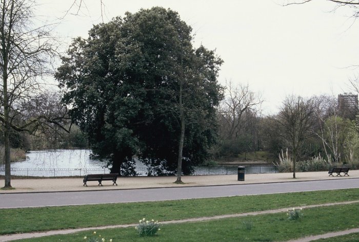
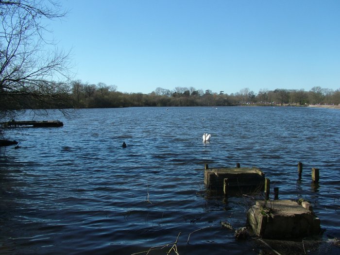
Victoria Park from the canal
The canal goes right alongside the park , merely scratching the surface of its 86 hectares, which have been refurbished in the past few years. It has been consistently voted as one of Londons favourite parks and has three boating lakes.
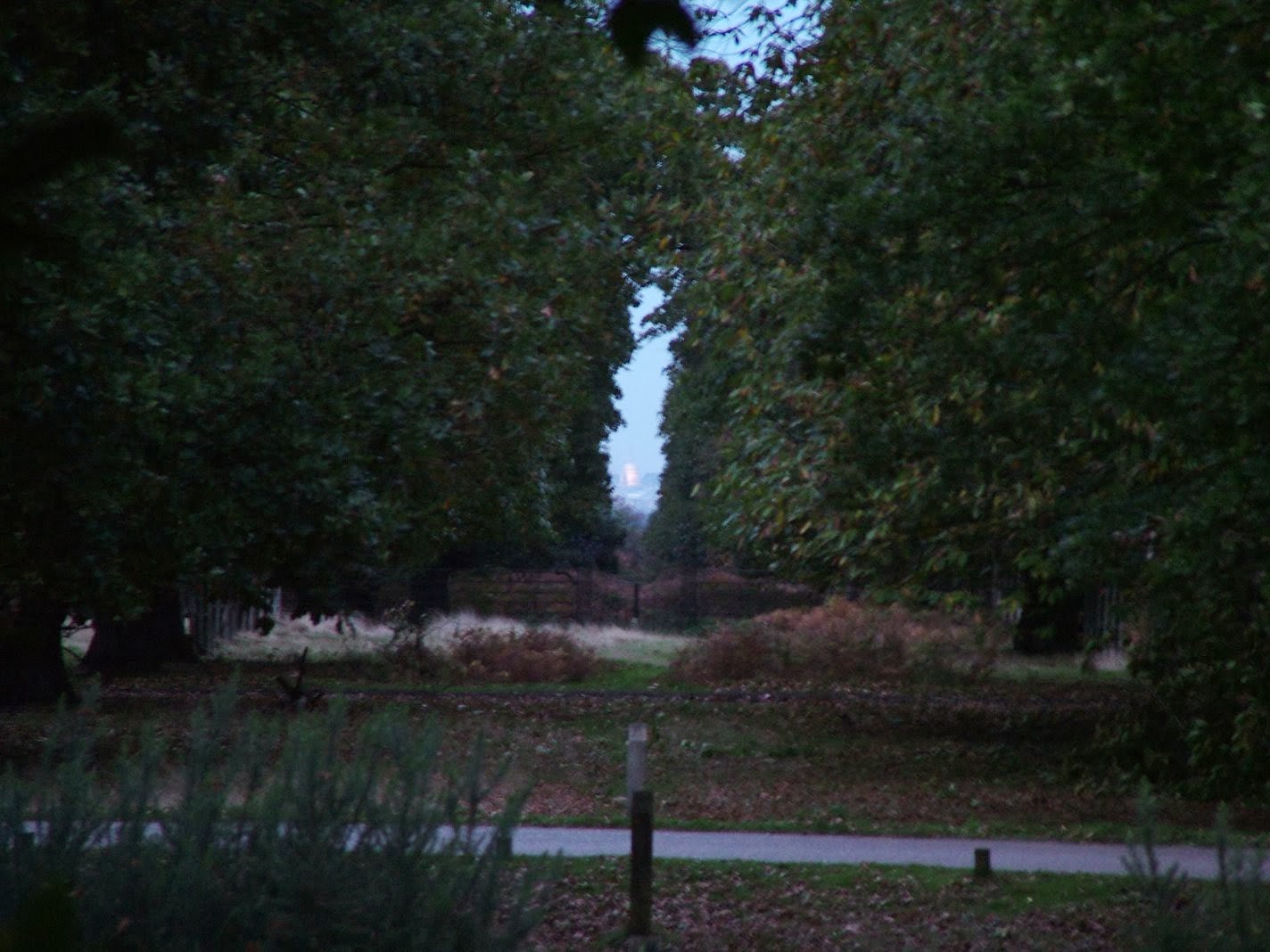
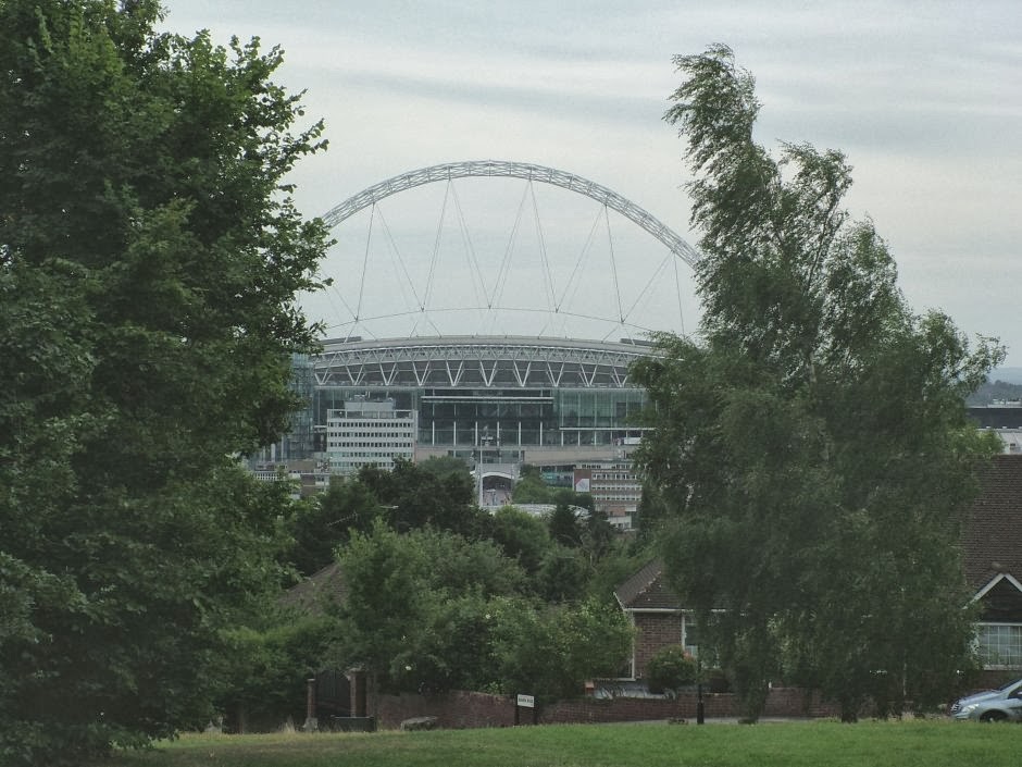
After Victoria Park is Mile End Park. This was where 60,000 Men of Essex met Richard II’s forces in battle during the Peasants Revolt in 1381. It is one of Londons newest parks, having opened after the Millennium (though it was planned since the end of World War 2). At Mile End Park, Canary Wharf (technically 1 Canada Square, as you all know) comes into view for the first time.
Even with our destination in sight, we still have a bit to go. This is Tower Hamlets, en route to Limehouse. The walk is hemmed in by developments until you reach Limehouse Basin. Limehouse was an important junction for transferring cargo from ocean-going ships at West India Dock to barges that would ply Regent’s Canal. After it fell into decline, master plans were drawn up to redevelop it in 1983. These progressed in fits and starts but now it’s a collection of luxury yachts and flats [Ed: And the excellent Moo Canoes, London’s only canoe and kayak hire business].
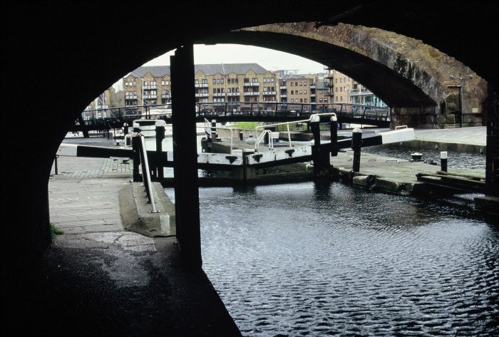
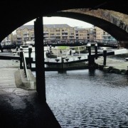
Limehouse Basin through the lock
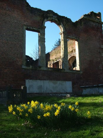
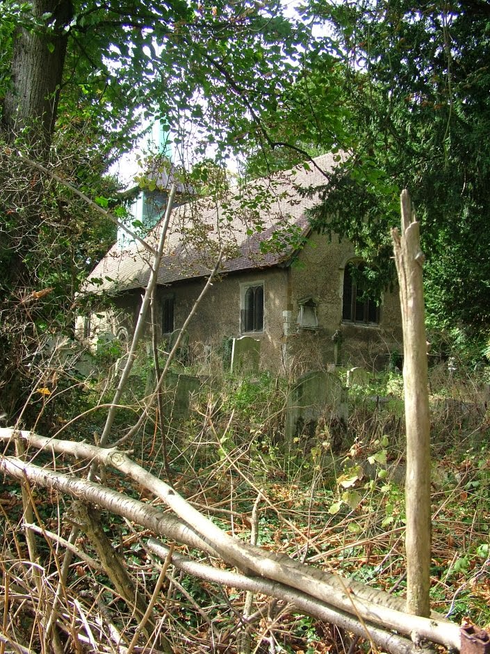
There’s plenty of more interesting sights if you leave the basin and explore Limehouse itself. The area has a sense of history and is notable for its links to some of the instigators of the modern welfare state. Limehouse Town Hall still stands. It’s where David Lloyd George made a famous 1909 speech condemning the House of Lords’ opposition to his peoples budget. Clement Atlee was also MP for the area before he became Prime Minister; its poverty moved his views leftwards. Another significant landmark is St. Anne’s Church, restored in 1854 after a fire. Next to the church is Limehouse Library, sadly boarded up but still a Grade II listed building.
Limehouse retains many of its old buildings
Once in Limehouse, find the Commercial Road (A13) and follow the signs for the Isle of Dogs, crossing by the cycle path. By Westferry station, you will see a path towards the Port East Apartments – there is access to the building and you can wander in the lobby before going through to West India Dock.
Canary Wharf now stands on the site of the docks as you cross the pontoon footbridge, you can see the Crossrail development to your left. If you don’t want to spend your money in the luxury shops here, find the Jubilee line station – it’s only 25 minutes back to West Hampstead.
Distance: 7 miles (more depending on detours)
What to take: There are plenty of places to buy snacks or stop for a meal/pint
Maps: OS Explorer 173 London North (1:25,000) or an A-Z
Terrain: Flat, good paths and pavements. The towpath is good enough for cycling along on a Boris Bike. There are some steps.
Travel cost: £2.10/£1.70 train to St Pancras International and £2.80/£2.20 Canary Wharf to West Hampstead (peak/off-peak Oystercard fares).
View St Pancras to Canary Wharf in a larger map